ASPHALT
hard
Stage 3
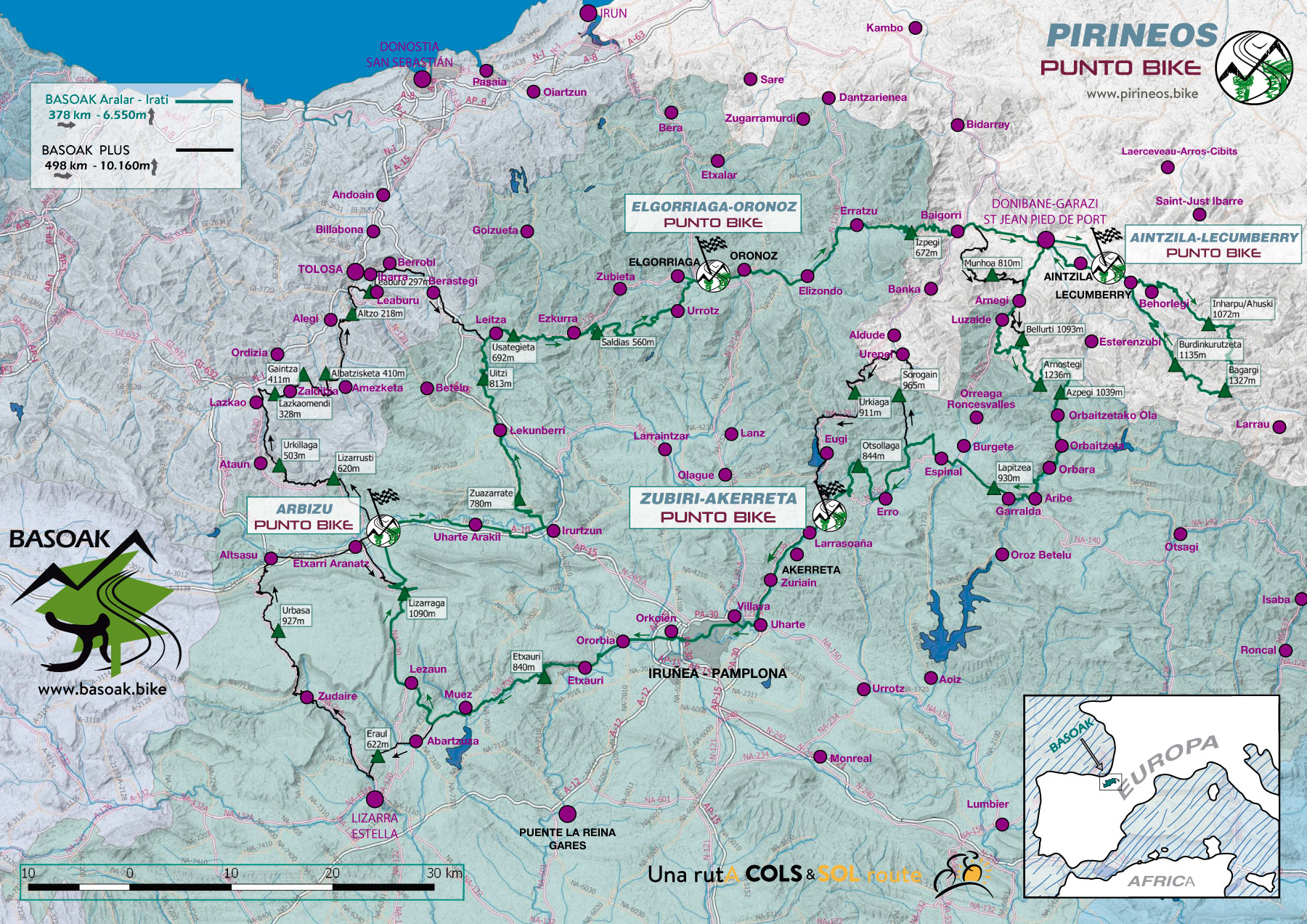
IRATI - ZUBIRI
Distance: 92 km Unevenness: 1.820 m
Arnostegi, a COL of the "greats" and Northern Navarra. Pilgrims environment.
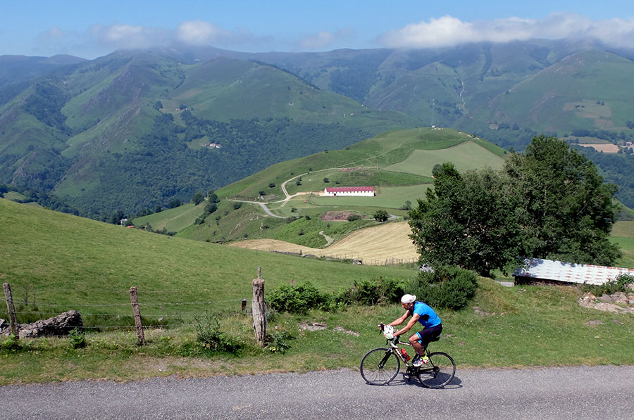
The Roman tower of Urkulu is going to keep an eye on us for much of this third stage. Essentially when climbing to the COL of Arnostegi. This Pyrenean colossus has 5 great ascents. We have chosen the one that passes through Ondarolle, but in Arnegi we can choose other two tougher options through Bellurti.
Sometimes due to the influx of pilgrims it may be necessary to seek accommodation outside Zubiri.
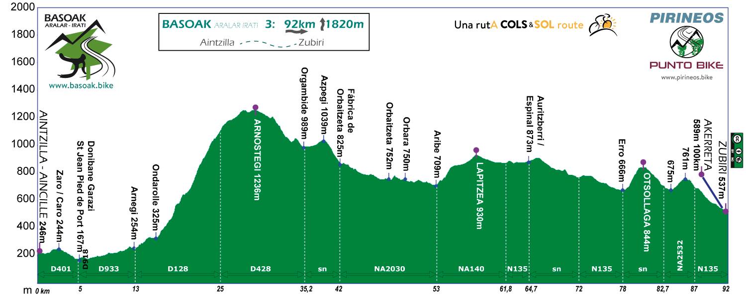
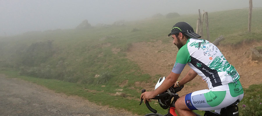
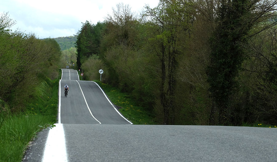
Last stage, hard fight in the ascent to COL of Arnostegi by Ondarolle. Better to bring good "paella" in the back wheel.
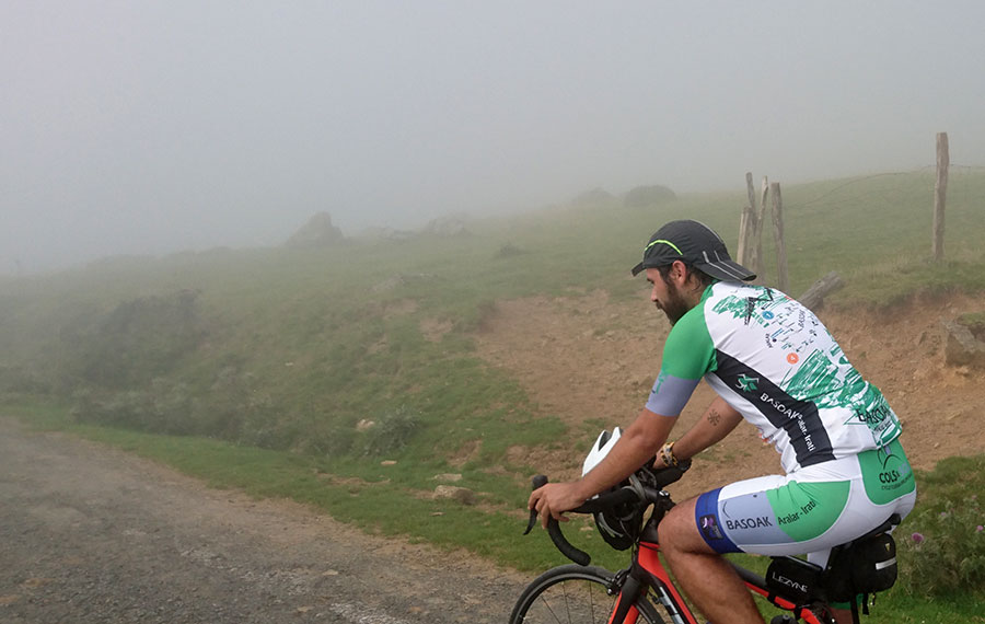
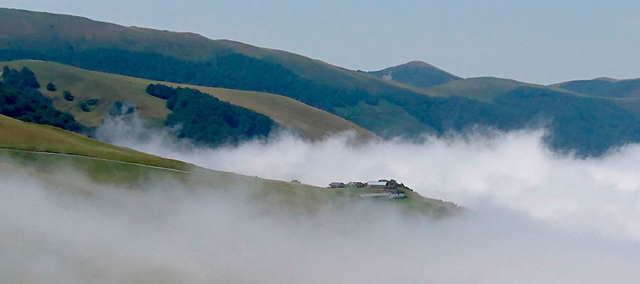
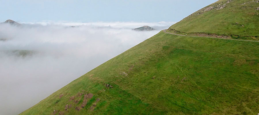
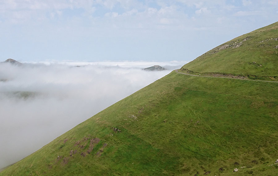
Crowning Bellurti in the fog, one of the best weather conditions to raise "cooled" the hard and prolonged slopes of this Pyrenean colossus.
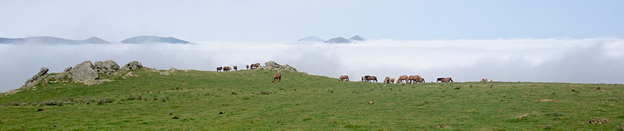
And much better if a little later the fog stays down. Bucolic scenes in the 5 star territory of the Basque Pyrenees.
In the center, prehistoric settlement of Zerkupe, BASOAK scenario on the gentle slopes on the upper part of Arnostegi.
We are going to Orgambide.
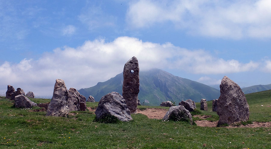
Cultural recreation of cromlech in front of Errozate mountain.
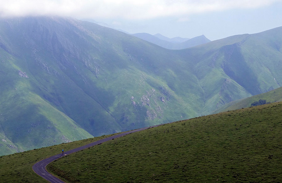
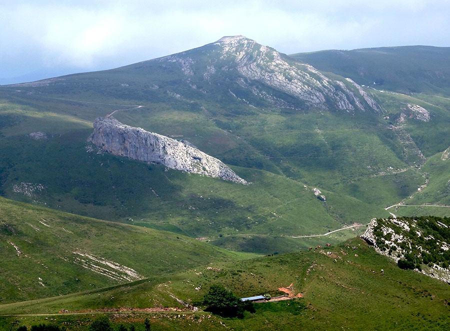
Powerful Pyrenean landscape between the steps of Orgambide and Azpegi. In background, slopes of Artaburu and Errozate. Irati Extrem Territory.
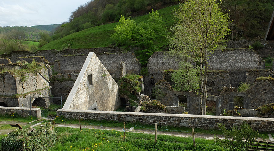
Reconditioned remains of the former Orbaitzeta Weapons Factory. We are already on the southern slope.
Passed the Port of Lapitzea. Southern slope of the Pyrenean Navarre between Aribe and Espinal.
We are already heading towards Pamplona, ascending the small Port of Mezkiritz.
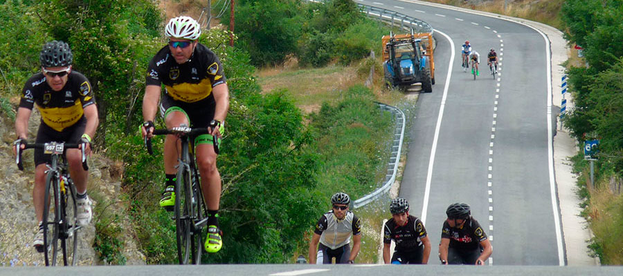
- Cicloturista La Indurain 2016 -
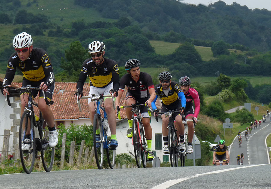
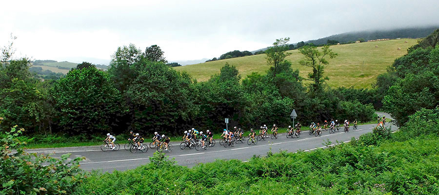
Towards Zubiri. We are finishing the third stage of BASOAK.
- Cicloturista La Indurain 2016 -
in preparation
Arnostegi by Ondarolle in altimetrias.net
Arnostegi NW by Bellurti in altimetrias.net
Bellurti N in altimetrias.net
Arnostegi by Ondarolle in cols-cyclisme.com.
If you want to see the route on wikiloc website click on the green icon on the map
Criteria used in the 6 levels that we have chosen for the ranking of the routes:
- Walks or family routes: Routes with light slopes and little travel. Suitable for untrained family groups or for people who usually don't use the bike
- Easy: Routes with a slope that can reach 1000 meters but facing none of the large ports.
The distance will range between 40 and 60 kilometers. - Moderate: Routes with one of the "great" ports or a combination of similar difficulty. The slopes can be really important and slopes can range between 1000 and 2000 meters.
The distance will vary between 60 and 100 kilometers. - Hard: Routes with a slope ranging around 2500 meters. There may have to ascend 2 ports of the "greats" or one and several of the "minor".
The distance will vary between 90 and 130 kilometers. - Very hard:: Routes ranging from the 2500 and 4000 meters of altitude. Sometimes there may have to ascend the 3 ports of the '' greats ''.
The distance will exceed the 100 kilometers and may reach up to 200 km. - Challenge: In these times there is a public that demands "more" yet. To them arises the concept of "challenge": stages of more than a day in "non-stop" mode, 4500-5000 or even more meters of altitude routes, individual or group time trial with 3000 meters of altitude and over 100 kilometers of route.
Finally, a variety of what riders would usually call "nonsense" which to be more elegant, here we call it, 'Challenges'.
 Return